
武志島 topographic map
Interactive map
Click on the map to display elevation.
About this map
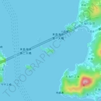
Name: 武志島 topographic map, elevation, terrain.
Location: 武志島, 今治市, 愛媛県, 日本 (34.12040 133.00616 34.12353 133.01153)
Average elevation: 13 m
Minimum elevation: -8 m
Maximum elevation: 188 m
Other topographic maps
Click on a map to view its topography, its elevation and its terrain.