
鷲ヶ頭山 topographic map
Interactive map
Click on the map to display elevation.
About this map
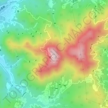
Name: 鷲ヶ頭山 topographic map, elevation, terrain.
Location: 鷲ヶ頭山, 今治市, 愛媛県, 794-1402, 日本 (34.23906 133.02137 34.23916 133.02147)
Average elevation: 173 m
Minimum elevation: 6 m
Maximum elevation: 411 m
Other topographic maps
Click on a map to view its topography, its elevation and its terrain.