
河辺北野田高屋字前田 topographic map
Interactive map
Click on the map to display elevation.
About this map
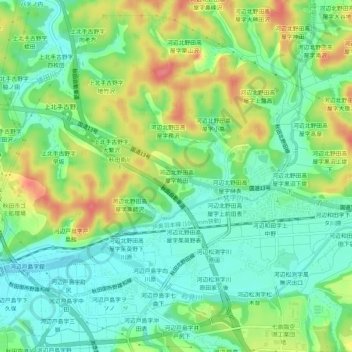
Name: 河辺北野田高屋字前田 topographic map, elevation, terrain.
Location: 河辺北野田高屋字前田, 秋田市, 秋田県, 010-1223, 日本 (39.63588 140.18337 39.67588 140.22337)
Average elevation: 34 m
Minimum elevation: 6 m
Maximum elevation: 80 m
Other topographic maps
Click on a map to view its topography, its elevation and its terrain.