
上北手猿田字篠田台 topographic map
Interactive map
Click on the map to display elevation.
About this map
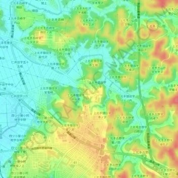
Name: 上北手猿田字篠田台 topographic map, elevation, terrain.
Location: 上北手猿田字篠田台, 秋田市, 秋田県, 010-1407, 日本 (39.65798 140.15115 39.69798 140.19115)
Average elevation: 28 m
Minimum elevation: 1 m
Maximum elevation: 65 m
Other topographic maps
Click on a map to view its topography, its elevation and its terrain.