
築地 topographic map
Interactive map
Click on the map to display elevation.
About this map
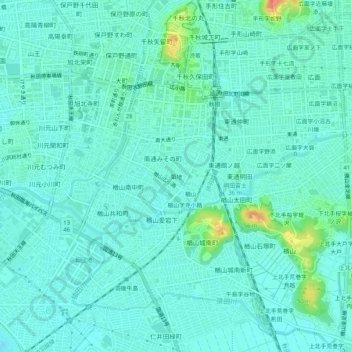
Name: 築地 topographic map, elevation, terrain.
Location: 築地, 秋田市, 秋田県, 010-0013, 日本 (39.68769 140.10406 39.72769 140.14406)
Average elevation: 10 m
Minimum elevation: 0 m
Maximum elevation: 53 m
Other topographic maps
Click on a map to view its topography, its elevation and its terrain.