
金足下刈字前田 topographic map
Interactive map
Click on the map to display elevation.
About this map
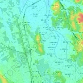
Name: 金足下刈字前田 topographic map, elevation, terrain.
Location: 金足下刈字前田, 秋田市, 秋田県, 010-0124, 日本 (39.81259 140.04178 39.85259 140.08178)
Average elevation: 15 m
Minimum elevation: 1 m
Maximum elevation: 56 m
Other topographic maps
Click on a map to view its topography, its elevation and its terrain.