
仁井田字潟中島 topographic map
Interactive map
Click on the map to display elevation.
About this map
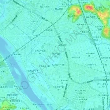
Name: 仁井田字潟中島 topographic map, elevation, terrain.
Location: 仁井田字潟中島, 秋田市, 秋田県, 010-1437, 日本 (39.66587 140.09960 39.70587 140.13960)
Average elevation: 8 m
Minimum elevation: -4 m
Maximum elevation: 46 m
Other topographic maps
Click on a map to view its topography, its elevation and its terrain.