
河辺戸島字七曲下 topographic map
Interactive map
Click on the map to display elevation.
About this map
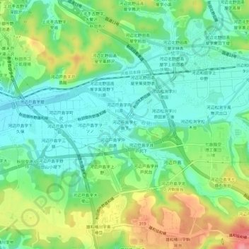
Name: 河辺戸島字七曲下 topographic map, elevation, terrain.
Location: 河辺戸島字七曲下, 秋田市, 秋田県, 010-1223, 日本 (39.62189 140.18070 39.66189 140.22070)
Average elevation: 38 m
Minimum elevation: 5 m
Maximum elevation: 102 m
Other topographic maps
Click on a map to view its topography, its elevation and its terrain.