
我孫子市 topographic map
Interactive map
Click on the map to display elevation.
About this map
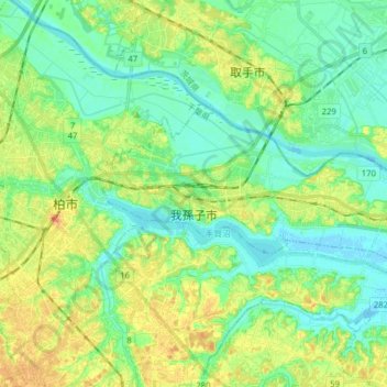
Name: 我孫子市 topographic map, elevation, terrain.
Location: 我孫子市, 千葉県, 日本 (35.84075 139.98867 35.90061 140.14646)
Average elevation: 15 m
Minimum elevation: -2 m
Maximum elevation: 41 m
Other topographic maps
Click on a map to view its topography, its elevation and its terrain.