
Sigiriya topographic map
Interactive map
Click on the map to display elevation.
About this map
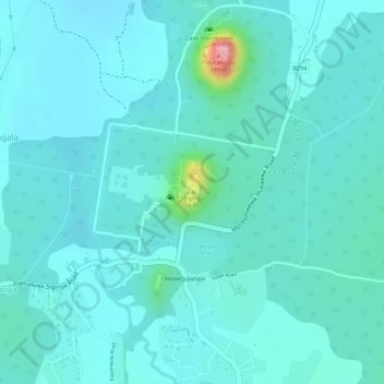
Name: Sigiriya topographic map, elevation, terrain.
Location: Sigiriya, Matale District, Central Province, Sri Lanka (7.95568 80.75932 7.95753 80.76039)
Average elevation: 203 m
Minimum elevation: 182 m
Maximum elevation: 320 m
Other topographic maps
Click on a map to view its topography, its elevation and its terrain.
Kotagala
Kotagala is a small town in the Nuwara Eliya District of the Central Province, Sri Lanka. It is located 35.8 km (22.2 mi) from Nuwara Eliya at an elevation of 1,247 m (4,091 ft) above sea level.
Average elevation: 1,327 m