
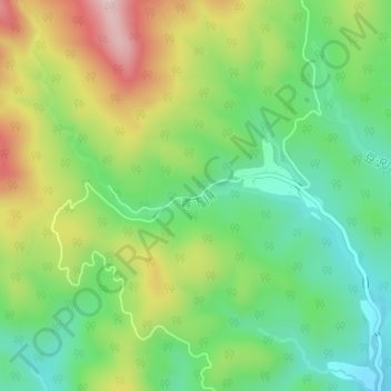
青下川 topographic map
Interactive map
Click on the map to display elevation.
About this map
Name: 青下川 topographic map, elevation, terrain.
Location: 青下川, 青葉区, 仙台市, 宮城県, 日本 (38.33246 140.64219 38.33505 140.66017)
Average elevation: 379 m
Minimum elevation: 250 m
Maximum elevation: 583 m
Other topographic maps
Click on a map to view its topography, its elevation and its terrain.