
泉区 topographic map
Interactive map
Click on the map to display elevation.
About this map
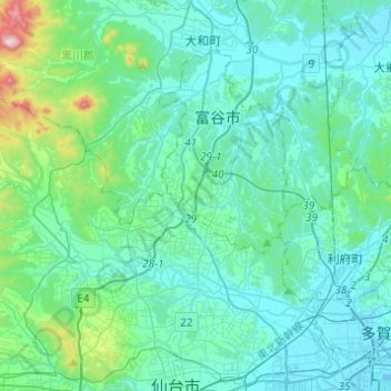
Name: 泉区 topographic map, elevation, terrain.
Location: 泉区, 仙台市, 宮城県, 日本 (38.28731 140.68772 38.43404 140.93237)
Average elevation: 81 m
Minimum elevation: -1 m
Maximum elevation: 610 m
Other topographic maps
Click on a map to view its topography, its elevation and its terrain.