
片平 topographic map
Interactive map
Click on the map to display elevation.
About this map
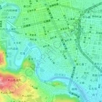
Name: 片平 topographic map, elevation, terrain.
Location: 片平, 青葉区, 仙台市, 宮城県, 日本 (38.25009 140.86368 38.25900 140.87801)
Average elevation: 47 m
Minimum elevation: 13 m
Maximum elevation: 140 m
Other topographic maps
Click on a map to view its topography, its elevation and its terrain.