
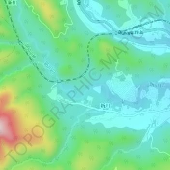
新川川 topographic map
Interactive map
Click on the map to display elevation.
About this map
Name: 新川川 topographic map, elevation, terrain.
Location: 新川川, 青葉区, 仙台市, 宮城県, 982-0244, 日本 (38.30597 140.61426 38.31099 140.62825)
Average elevation: 332 m
Minimum elevation: 235 m
Maximum elevation: 630 m
Other topographic maps
Click on a map to view its topography, its elevation and its terrain.