
道路 topographic map
Interactive map
Click on the map to display elevation.
About this map
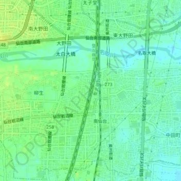
Name: 道路 topographic map, elevation, terrain.
Location: 道路, 西中田一丁目, 太白区, 仙台市, 宮城県, 日本 (38.20053 140.88141 38.20102 140.88180)
Average elevation: 11 m
Minimum elevation: 3 m
Maximum elevation: 20 m
Other topographic maps
Click on a map to view its topography, its elevation and its terrain.