
碁石川 topographic map
Interactive map
Click on the map to display elevation.
About this map
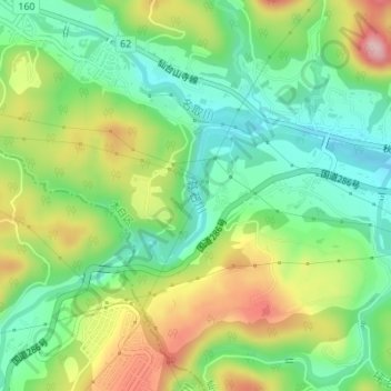
Name: 碁石川 topographic map, elevation, terrain.
Location: 碁石川, 太白区, 仙台市, 宮城県, 982-0252, 日本 (38.20705 140.73849 38.21607 140.74992)
Average elevation: 135 m
Minimum elevation: 54 m
Maximum elevation: 264 m
Other topographic maps
Click on a map to view its topography, its elevation and its terrain.