
白髪山 topographic map
Interactive map
Click on the map to display elevation.
About this map
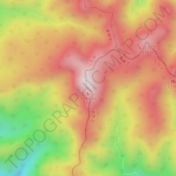
Name: 白髪山 topographic map, elevation, terrain.
Location: 白髪山, 仙台市, 宮城県, 日本 (38.43466 140.58086 38.43476 140.58096)
Average elevation: 1,016 m
Minimum elevation: 638 m
Maximum elevation: 1,268 m
Other topographic maps
Click on a map to view its topography, its elevation and its terrain.