
大崎下島 topographic map
Interactive map
Click on the map to display elevation.
About this map
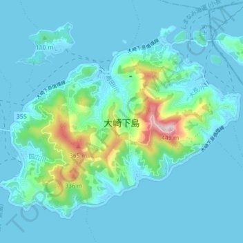
Name: 大崎下島 topographic map, elevation, terrain.
Location: 大崎下島, 呉市, 広島県, 734-0302, 日本 (34.15085 132.79952 34.19631 132.86864)
Average elevation: 54 m
Minimum elevation: -4 m
Maximum elevation: 426 m
Other topographic maps
Click on a map to view its topography, its elevation and its terrain.