
本庄水源地 topographic map
Interactive map
Click on the map to display elevation.
About this map
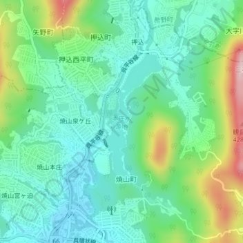
Name: 本庄水源地 topographic map, elevation, terrain.
Location: 本庄水源地, 焼山町, 呉市, 広島県, 日本 (34.30171 132.56189 34.31667 132.56956)
Average elevation: 247 m
Minimum elevation: 178 m
Maximum elevation: 419 m