
畝原町 topographic map
Interactive map
Click on the map to display elevation.
About this map
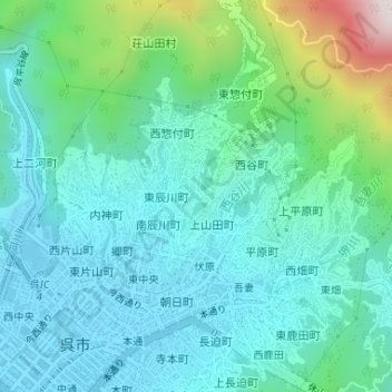
Name: 畝原町 topographic map, elevation, terrain.
Location: 畝原町, 呉市, 広島県, 日本 (34.25582 132.57246 34.26136 132.57745)
Average elevation: 143 m
Minimum elevation: 3 m
Maximum elevation: 684 m
Other topographic maps
Click on a map to view its topography, its elevation and its terrain.