
倉橋島 topographic map
Interactive map
Click on the map to display elevation.
About this map
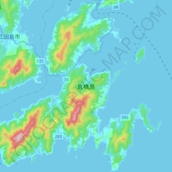
Name: 倉橋島 topographic map, elevation, terrain.
Location: 倉橋島, 呉市, 広島県, 日本 (34.07894 132.44725 34.20029 132.59309)
Average elevation: 52 m
Minimum elevation: -1 m
Maximum elevation: 482 m
Other topographic maps
Click on a map to view its topography, its elevation and its terrain.