
斎島 topographic map
Interactive map
Click on the map to display elevation.
About this map
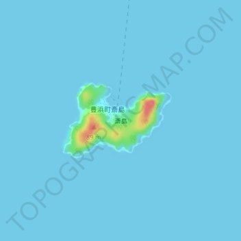
Name: 斎島 topographic map, elevation, terrain.
Location: 斎島, 豊浜町大字斎島, 呉市, 広島県, 日本 (34.11396 132.78590 34.12243 132.80062)
Average elevation: 2 m
Minimum elevation: -1 m
Maximum elevation: 69 m