
三角島 topographic map
Interactive map
Click on the map to display elevation.
About this map
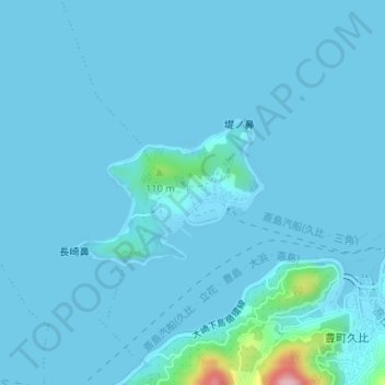
Name: 三角島 topographic map, elevation, terrain.
Location: 三角島, 豊町久比, 呉市, 広島県, 日本 (34.18677 132.80451 34.19718 132.82165)
Average elevation: 10 m
Minimum elevation: -6 m
Maximum elevation: 190 m