
下蒲刈島 topographic map
Interactive map
Click on the map to display elevation.
About this map
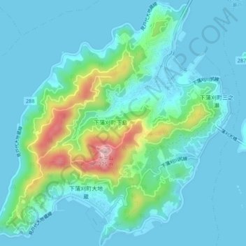
Name: 下蒲刈島 topographic map, elevation, terrain.
Location: 下蒲刈島, 呉市, 広島県, 日本 (34.16948 132.64422 34.20360 132.68443)
Average elevation: 45 m
Minimum elevation: 0 m
Maximum elevation: 259 m
Other topographic maps
Click on a map to view its topography, its elevation and its terrain.