
三峰川 topographic map
Interactive map
Click on the map to display elevation.
About this map
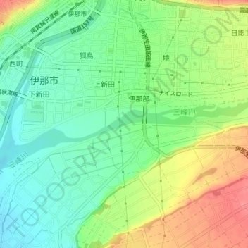
Name: 三峰川 topographic map, elevation, terrain.
Location: 三峰川, 伊那部, 伊那市, 長野県, 396-0025, 日本 (35.82495 137.96312 35.82628 137.96689)
Average elevation: 649 m
Minimum elevation: 621 m
Maximum elevation: 691 m
Other topographic maps
Click on a map to view its topography, its elevation and its terrain.