
千代田湖 topographic map
Interactive map
Click on the map to display elevation.
About this map
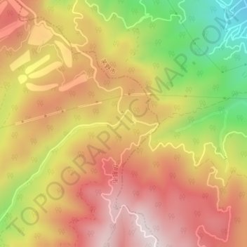
Name: 千代田湖 topographic map, elevation, terrain.
Location: 千代田湖, 伊那市, 長野県, 391-8511, 日本 (35.95032 138.14748 35.95117 138.14814)
Average elevation: 1,297 m
Minimum elevation: 957 m
Maximum elevation: 1,537 m
Other topographic maps
Click on a map to view its topography, its elevation and its terrain.