
黒檜山 topographic map
Interactive map
Click on the map to display elevation.
About this map
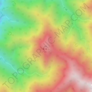
Name: 黒檜山 topographic map, elevation, terrain.
Location: 黒檜山, 伊那市, 長野県, 日本 (35.64451 138.18606 35.64461 138.18616)
Average elevation: 2,124 m
Minimum elevation: 1,564 m
Maximum elevation: 2,662 m
Other topographic maps
Click on a map to view its topography, its elevation and its terrain.