
北荒川岳 topographic map
Interactive map
Click on the map to display elevation.
About this map
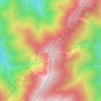
Name: 北荒川岳 topographic map, elevation, terrain.
Location: 北荒川岳, 伊那市, 長野県, 日本 (35.59464 138.19449 35.59474 138.19459)
Average elevation: 2,346 m
Minimum elevation: 1,872 m
Maximum elevation: 2,707 m
Other topographic maps
Click on a map to view its topography, its elevation and its terrain.