
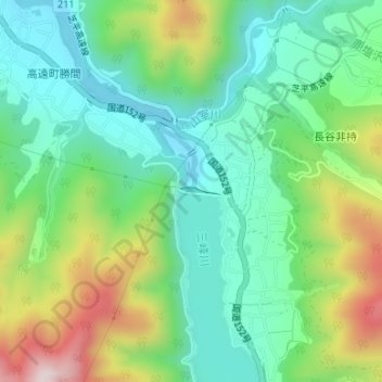
美和ダム topographic map
Interactive map
Click on the map to display elevation.
About this map
Name: 美和ダム topographic map, elevation, terrain.
Location: 美和ダム, 伊那市, 長野県, 日本 (35.81365 138.07789 35.81405 138.07982)
Average elevation: 909 m
Minimum elevation: 755 m
Maximum elevation: 1,233 m
Other topographic maps
Click on a map to view its topography, its elevation and its terrain.