
小瀬戸山 topographic map
Interactive map
Click on the map to display elevation.
About this map
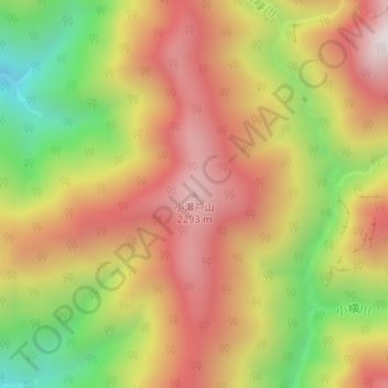
Name: 小瀬戸山 topographic map, elevation, terrain.
Location: 小瀬戸山, 伊那市, 長野県, 日本 (35.68474 138.16281 35.68484 138.16291)
Average elevation: 1,933 m
Minimum elevation: 1,423 m
Maximum elevation: 2,347 m
Other topographic maps
Click on a map to view its topography, its elevation and its terrain.