
住吉区 topographic map
Interactive map
Click on the map to display elevation.
About this map
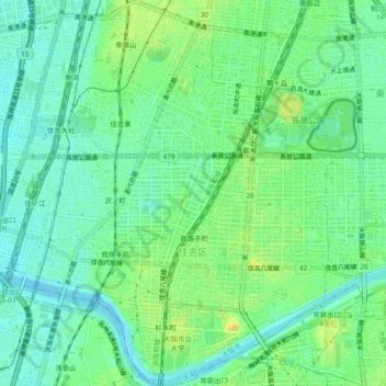
Name: 住吉区 topographic map, elevation, terrain.
Location: 住吉区, 大阪市, 大阪府, 日本 (34.58615 135.48696 34.62491 135.52374)
Average elevation: 10 m
Minimum elevation: -2 m
Maximum elevation: 24 m
Other topographic maps
Click on a map to view its topography, its elevation and its terrain.