
万代池 topographic map
Interactive map
Click on the map to display elevation.
About this map
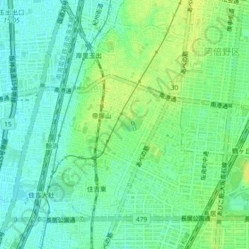
Name: 万代池 topographic map, elevation, terrain.
Location: 万代池, 万代三丁目, 住吉区, 大阪市, 大阪府, 日本 (34.61880 135.50076 34.62012 135.50367)
Average elevation: 10 m
Minimum elevation: 2 m
Maximum elevation: 20 m
Other topographic maps
Click on a map to view its topography, its elevation and its terrain.