
城東区 topographic map
Interactive map
Click on the map to display elevation.
About this map
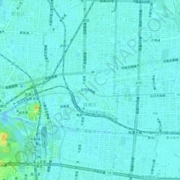
Name: 城東区 topographic map, elevation, terrain.
Location: 城東区, 大阪市, 大阪府, 日本 (34.67823 135.53393 34.71544 135.56564)
Average elevation: 7 m
Minimum elevation: -4 m
Maximum elevation: 51 m
Other topographic maps
Click on a map to view its topography, its elevation and its terrain.