
谷町五丁目 topographic map
Interactive map
Click on the map to display elevation.
About this map
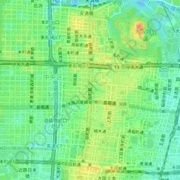
Name: 谷町五丁目 topographic map, elevation, terrain.
Location: 谷町五丁目, 中央区, 大阪市, 大阪府, 542-0012, 日本 (34.67672 135.51660 34.67886 135.51827)
Average elevation: 18 m
Minimum elevation: -4 m
Maximum elevation: 43 m
Other topographic maps
Click on a map to view its topography, its elevation and its terrain.