
美笠湖 topographic map
Interactive map
Click on the map to display elevation.
About this map
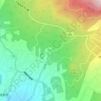
Name: 美笠湖 topographic map, elevation, terrain.
Location: 美笠湖, 長野市, 長野県, 381-4102, 日本 (36.71138 138.10274 36.71169 138.10308)
Average elevation: 1,023 m
Minimum elevation: 835 m
Maximum elevation: 1,359 m
Other topographic maps
Click on a map to view its topography, its elevation and its terrain.