
若穂 topographic map
Interactive map
Click on the map to display elevation.
About this map
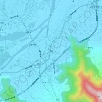
Name: 若穂 topographic map, elevation, terrain.
Location: 若穂, 長野市, 長野県, 中部地方, 381-0022, 日本 (36.59424 138.23110 36.63424 138.27110)
Average elevation: 398 m
Minimum elevation: 334 m
Maximum elevation: 974 m
Other topographic maps
Click on a map to view its topography, its elevation and its terrain.