
豊野町 topographic map
Interactive map
Click on the map to display elevation.
About this map
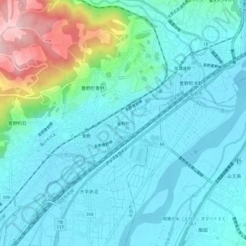
Name: 豊野町 topographic map, elevation, terrain.
Location: 豊野町, 長野市, 長野県, 381-0201, 日本 (36.69194 138.26252 36.73194 138.30252)
Average elevation: 373 m
Minimum elevation: 324 m
Maximum elevation: 582 m
Other topographic maps
Click on a map to view its topography, its elevation and its terrain.