
琅鶴湖 topographic map
Interactive map
Click on the map to display elevation.
About this map
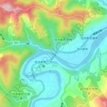
Name: 琅鶴湖 topographic map, elevation, terrain.
Location: 琅鶴湖, 長野市, 上水内郡, 長野県, 381-2422, 日本 (36.56560 137.99698 36.56583 137.99704)
Average elevation: 516 m
Minimum elevation: 421 m
Maximum elevation: 712 m
Other topographic maps
Click on a map to view its topography, its elevation and its terrain.