
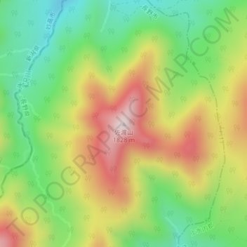
佐渡山 topographic map
Interactive map
Click on the map to display elevation.
About this map
Name: 佐渡山 topographic map, elevation, terrain.
Location: 佐渡山, 長野市, 長野県, 日本 (36.81361 138.08776 36.81371 138.08786)
Average elevation: 1,517 m
Minimum elevation: 1,282 m
Maximum elevation: 1,813 m
Other topographic maps
Click on a map to view its topography, its elevation and its terrain.