
大根沢山 topographic map
Interactive map
Click on the map to display elevation.
About this map
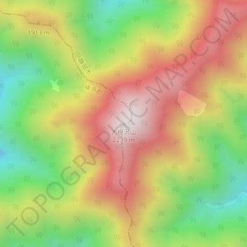
Name: 大根沢山 topographic map, elevation, terrain.
Location: 大根沢山, 川根本町, 榛原郡, 静岡県, 日本 (35.28233 138.13630 35.28243 138.13640)
Average elevation: 1,783 m
Minimum elevation: 1,319 m
Maximum elevation: 2,240 m
Other topographic maps
Click on a map to view its topography, its elevation and its terrain.