
信濃俣 topographic map
Interactive map
Click on the map to display elevation.
About this map
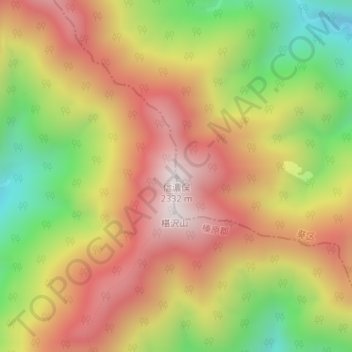
Name: 信濃俣 topographic map, elevation, terrain.
Location: 信濃俣, 川根本町, 榛原郡, 静岡県, 日本 (35.30704 138.09830 35.30714 138.09840)
Average elevation: 1,856 m
Minimum elevation: 1,337 m
Maximum elevation: 2,297 m
Other topographic maps
Click on a map to view its topography, its elevation and its terrain.