
千頭山 topographic map
Interactive map
Click on the map to display elevation.
About this map
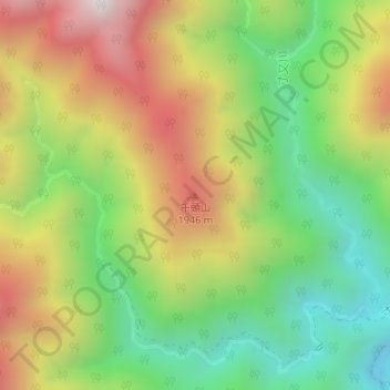
Name: 千頭山 topographic map, elevation, terrain.
Location: 千頭山, 川根本町, 榛原郡, 静岡県, 日本 (35.30672 138.05238 35.30682 138.05248)
Average elevation: 1,568 m
Minimum elevation: 1,087 m
Maximum elevation: 2,175 m
Other topographic maps
Click on a map to view its topography, its elevation and its terrain.