
前黒法師岳 topographic map
Interactive map
Click on the map to display elevation.
About this map
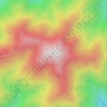
Name: 前黒法師岳 topographic map, elevation, terrain.
Location: 前黒法師岳, 川根本町, 榛原郡, 静岡県, 日本 (35.18731 138.07008 35.18741 138.07018)
Average elevation: 1,448 m
Minimum elevation: 831 m
Maximum elevation: 1,929 m
Other topographic maps
Click on a map to view its topography, its elevation and its terrain.