
草戸山 topographic map
Interactive map
Click on the map to display elevation.
About this map
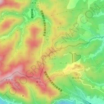
Name: 草戸山 topographic map, elevation, terrain.
Location: 草戸山, 相模原市, 神奈川県, 193-0844, 日本 (35.60925 139.26874 35.60935 139.26884)
Average elevation: 285 m
Minimum elevation: 126 m
Maximum elevation: 444 m
Other topographic maps
Click on a map to view its topography, its elevation and its terrain.