
緑区 topographic map
Interactive map
Click on the map to display elevation.
About this map
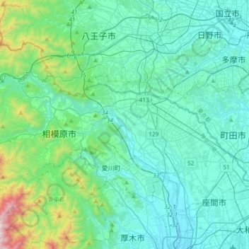
Name: 緑区 topographic map, elevation, terrain.
Location: 緑区, 相模原市, 神奈川県, 日本 (35.47455 139.06604 35.67290 139.36142)
Average elevation: 229 m
Minimum elevation: 15 m
Maximum elevation: 1,472 m
Other topographic maps
Click on a map to view its topography, its elevation and its terrain.