
道志川 topographic map
Interactive map
Click on the map to display elevation.
About this map
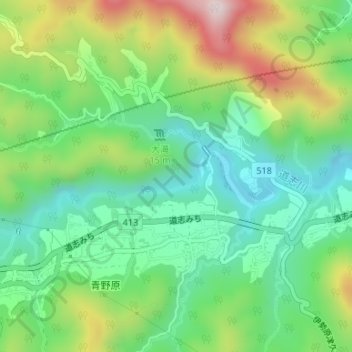
Name: 道志川 topographic map, elevation, terrain.
Location: 道志川, 緑区, 相模原市, 神奈川県, 252-0175, 日本 (35.56617 139.19162 35.56960 139.19918)
Average elevation: 333 m
Minimum elevation: 165 m
Maximum elevation: 648 m
Other topographic maps
Click on a map to view its topography, its elevation and its terrain.