
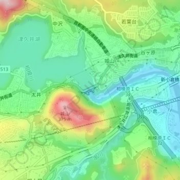
城山ダム topographic map
Interactive map
Click on the map to display elevation.
About this map
Name: 城山ダム topographic map, elevation, terrain.
Location: 城山ダム, 城山二丁目, 緑区, 相模原市, 神奈川県, 日本 (35.58496 139.28186 35.58637 139.28473)
Average elevation: 167 m
Minimum elevation: 69 m
Maximum elevation: 365 m
Other topographic maps
Click on a map to view its topography, its elevation and its terrain.