
三坂山 topographic map
Interactive map
Click on the map to display elevation.
About this map
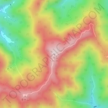
Name: 三坂山 topographic map, elevation, terrain.
Location: 三坂山, 松江市, 島根県, 6900401, 日本 (35.54144 133.10308 35.54154 133.10318)
Average elevation: 321 m
Minimum elevation: 90 m
Maximum elevation: 523 m
Other topographic maps
Click on a map to view its topography, its elevation and its terrain.