
本庄川 topographic map
Interactive map
Click on the map to display elevation.
About this map
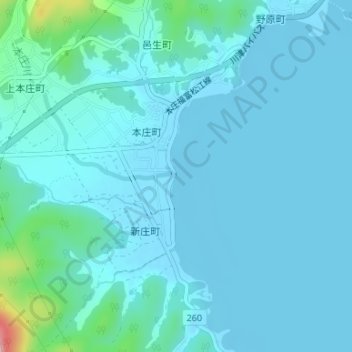
Name: 本庄川 topographic map, elevation, terrain.
Location: 本庄川, 本庄町, 松江市, 島根県, 6901493, 日本 (35.50831 133.13092 35.50864 133.13145)
Average elevation: 19 m
Minimum elevation: -3 m
Maximum elevation: 179 m
Other topographic maps
Click on a map to view its topography, its elevation and its terrain.