
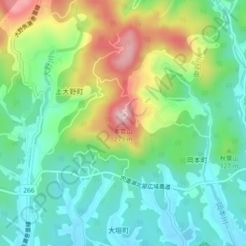
本宮山 topographic map
Interactive map
Click on the map to display elevation.
About this map
Name: 本宮山 topographic map, elevation, terrain.
Location: 本宮山, 松江市, 島根県, 6910073, 日本 (35.49250 132.93372 35.49260 132.93382)
Average elevation: 90 m
Minimum elevation: 5 m
Maximum elevation: 261 m
Other topographic maps
Click on a map to view its topography, its elevation and its terrain.